
Valandem
Mandem for the Landems
Our service
Combine imagery, geospatial datasets and knowledge to model the current state of habitats and the regional potential for biodiversity conservation and restoration
Model Algorithms & Backend
- Flexible Model Inputs
- Multiscalar Outputs
- External Database Query
- Internal Database Storage
- Cloud Computing
- Machine Learning
- Optimized Processing
User Interface
- Interactive Saas Platform
- User Accounts
- Usage Guides
- Free To Use
- Output Visualization
- Input Data Upload
- Output Data Download
Biodiversity Information
- Proprietary Biodiversity Models
- Vegetation Community Extent
- Adaptable Habitat Classification
- Biogeographic Land Metrics
- Target Species Habitats
- Mapping Of Species Threats
Value Proposition
Geospatial Modeling Platform
Open-Source platform, fostering collaboration and innovation within a passionate community.
Free to use platform, removing barriers to entry and encouraging interest in all biodiversity matters.
The goal of educating the world about biodiversity through the platform, empowering users to make informed decisions and act for the future.
The importance of fostering a strong community around the platform, encouraging collaboration, knowledge sharing and feedback loops to continuously improve the tools and resources.
Inclusion of easy-to-use tools, making geospatial modeling and information accessible to users with varying levels of understanding and expertise.
The platform can be openly accessed and utilized by users everywhere.
About us
We are a young team with people from all over the world
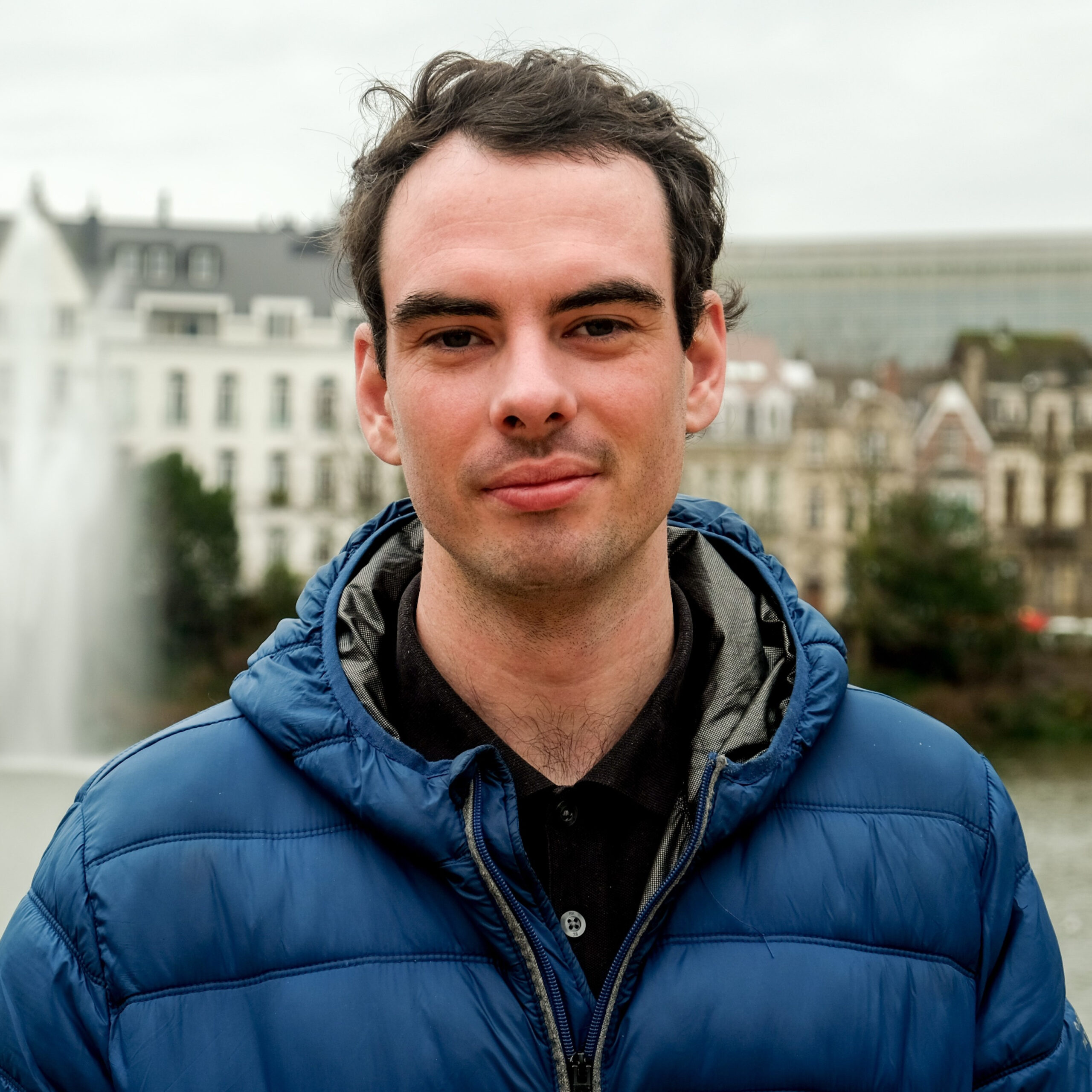
Graeme Woodsworth
Head of Research and Product development, expertise in water system research, community-based environmental monitoring projects and corporate ESG analytics. Recently was the lead Environmental Scientist at BitaGreen, a previously selected Uplink Top Innovator. Has a Master’s degree in Water Resources Engineering from KU Leuven.

Arslan Daniel
Geospatial Sciences lead, processes technical expertise in spatial information systems, workflows and applications. Has collaborated with Canadian government agencies on numerous geospatial projects in the fields of environment, transportation and conservation. Has a Master’s degree in Spatial Information Systems from the University of Toronto.
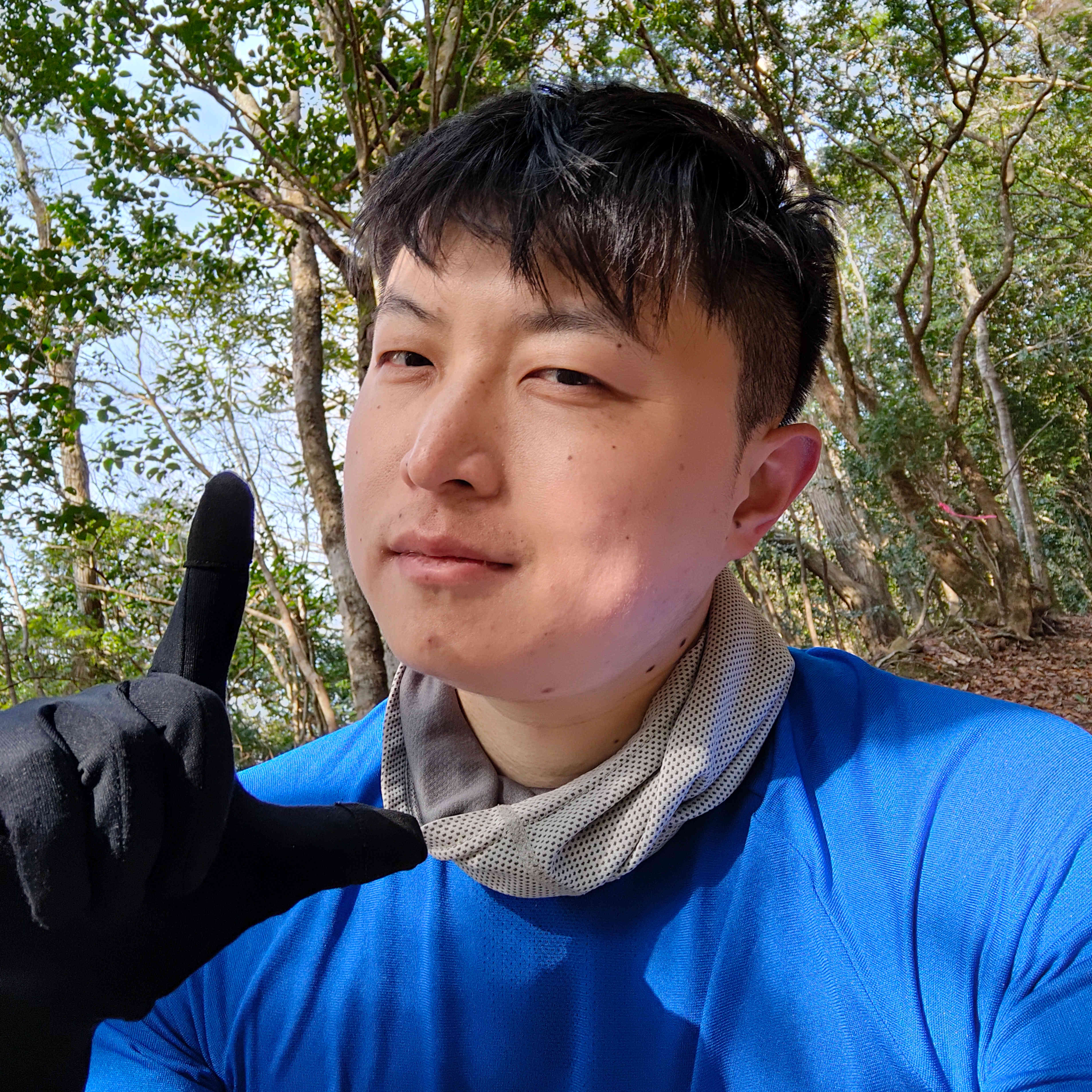
Doye Xie
Front-End Developer, brings ten years of experience in the software industry, with a comprehensive background in application development spanning Android, iOS, and web platforms. Proficient in frontend development and deploying big data solutions at large tech firms. Has a Bachelor's degree in Electronic Information Engineering from Dalian University.
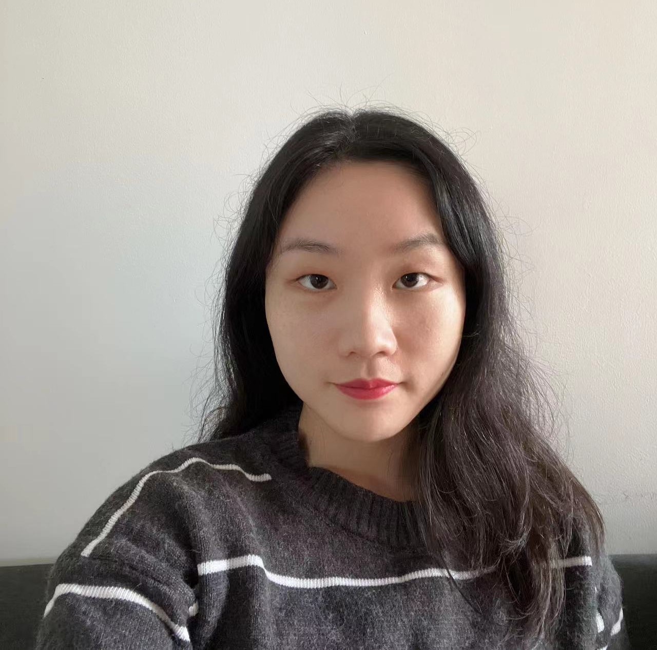
Wendy Guo
Software Engineering lead, expertise in web infrastructure and data backend processes. Brings a wealth of experience in front-end and back-end programming languages with background as a software engineer in the field of lithography. Has a Master’s degree in Electronic Engineering from South China University of Technology.
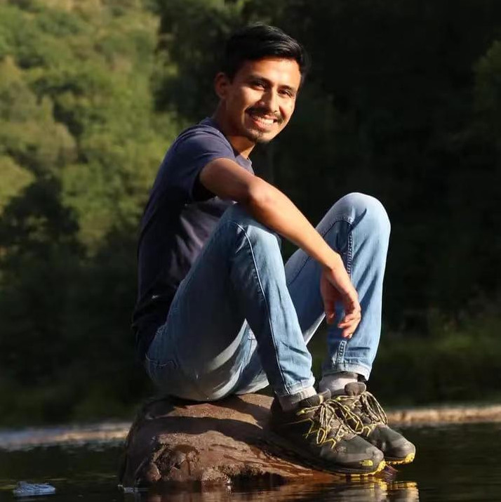
Elvis Quinscanela
Environmental Engineering lead, expertise in water resources management, solid waste management, and natural hazards solutions. Brings great amount of experience in sustainability and natural resources management with a background in civil engineering. Has a Master’s degree in Water Resources Engineering from KU Leuven.
Valandem
Contact us
- valandem.info@gmail.com